George Sargeant's 1641 Map of Nash or Horton cum Studley
Note that the pictures are over 2Mb each to retain the detail and will take time to download.
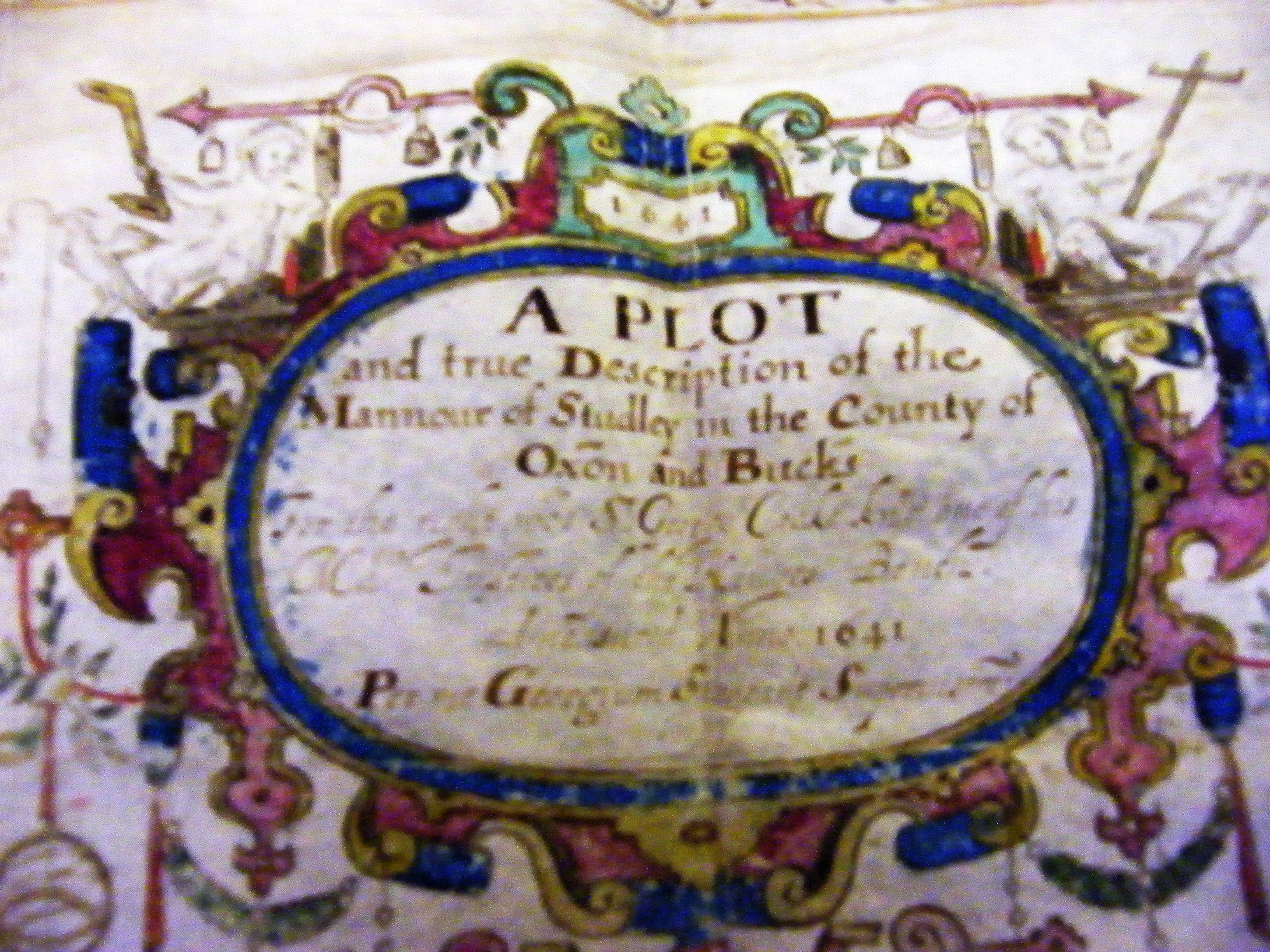
George Sargeant's 1641 map of Nash (now Horton cum Studley) for the Croke estate.
Note that the map is orientated so that south is the top towards Oxford.
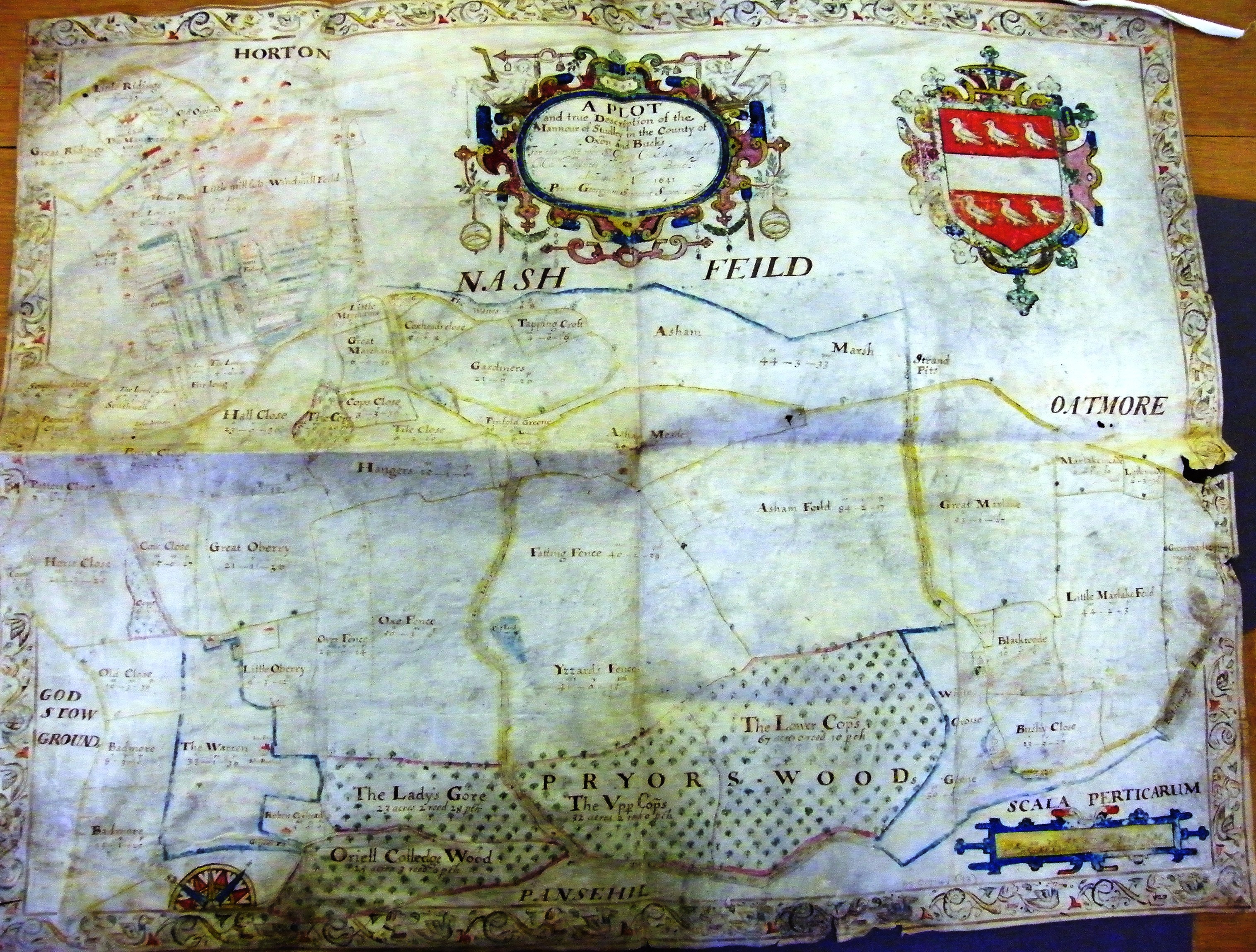
The complete map held at the Oxford Record Centre in Cowley. Note Warren Farm (bottom Left) highlighted in blue and the spelling of Otmoor as Oatmore and Feild. The county boundary was then down Boundary Lane (sometimes known as Cow Lane) then along the stream shown in blue just under the NASH FEILD making most of the map then in Bucks.
The big red building (top) is the stables of the Priory (now gone) opposite the Almshouses and the two 17th century houses that still exist..
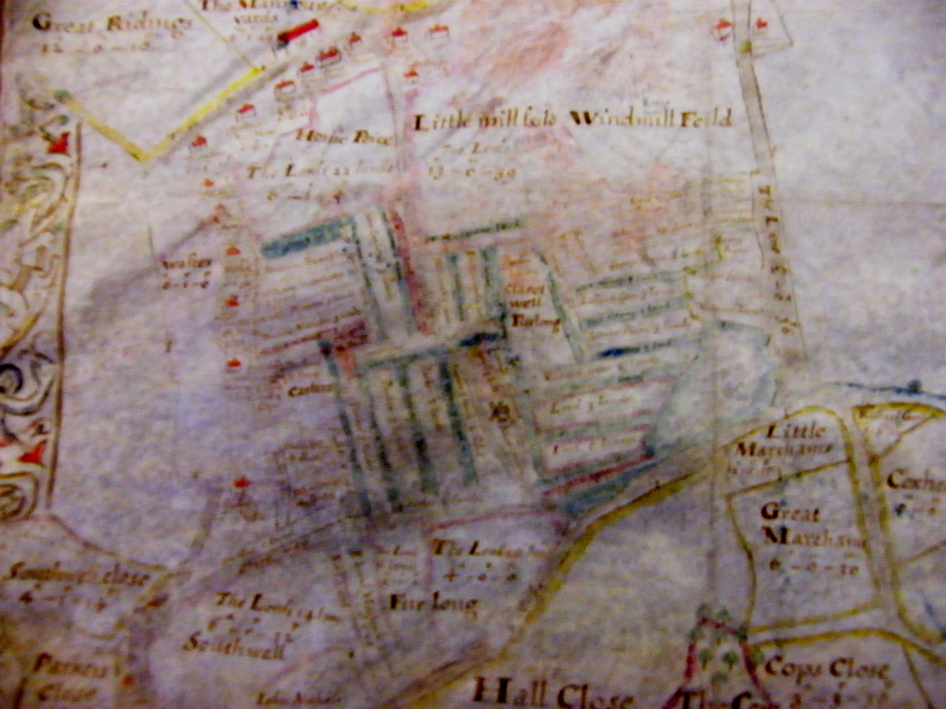
The row of red cottages down the left is what is now Brill Road and Rose Cottage is possibly the sixth house down. The field with the windmill that survived until about 1860. It also shows the ploughed strips of the village peasants at the time. The cottages in the top right are down Mill Lane and the left hand cottage remains can be seen in the field. Across the lane is a cottage where the green barn now stands. Mill Lane was then called "The Lane".
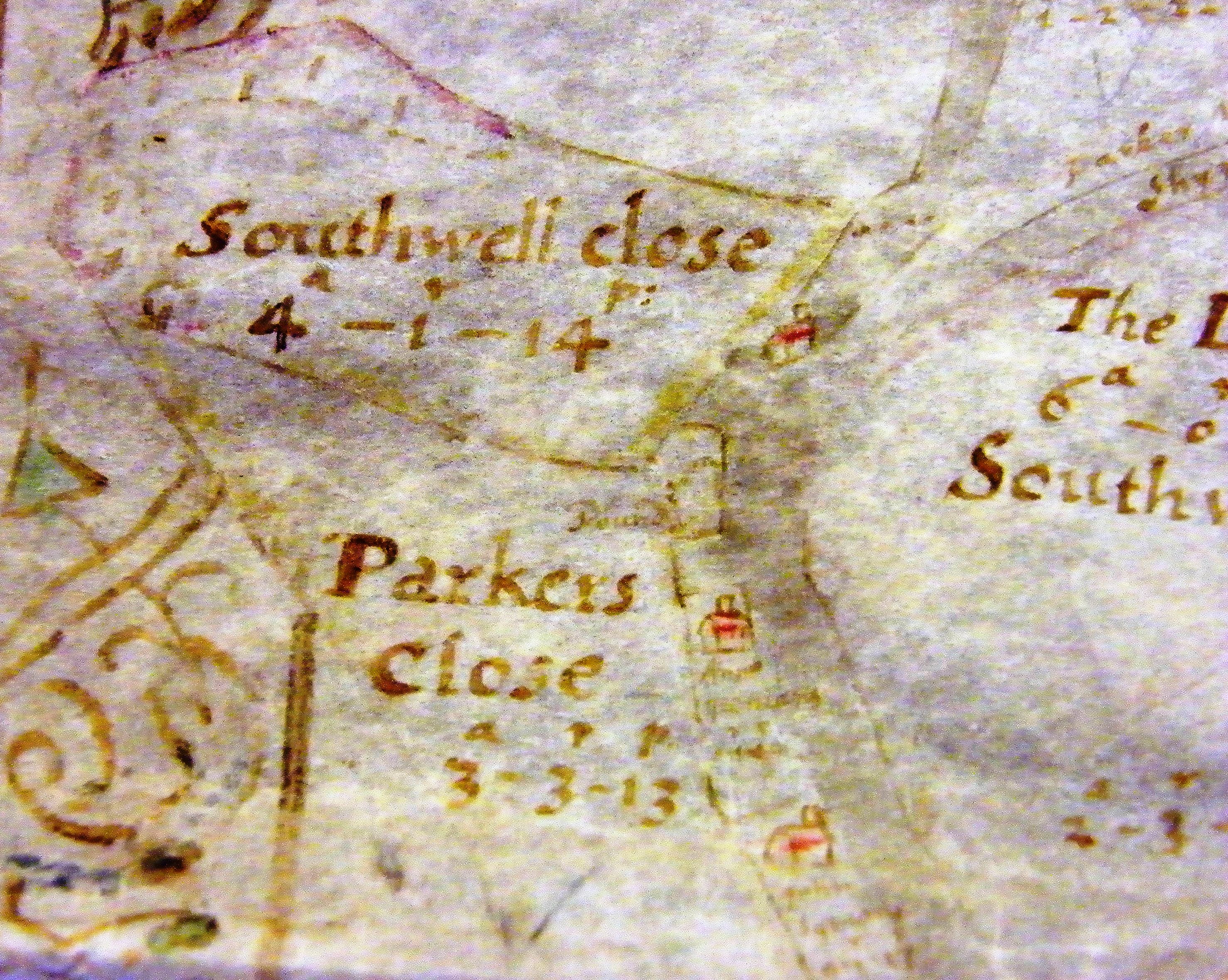
This is where the Mill Lane footpath enters the big field where Gardiners Barn house is situated. The field was divided into smaller fields. Tippen's Copse ((bottom left) still exists as does the stream towards the top of the picture.
Brill Road roughly where Studley End house is now situated.
A bit further down the Brill Road.
A close up of the field behind Brill Road cottages with Boundary Lane (sometimes known as Cow Lane) coming in from bottom left. The red house bottom left is where Studley Farmhouse is now situated.
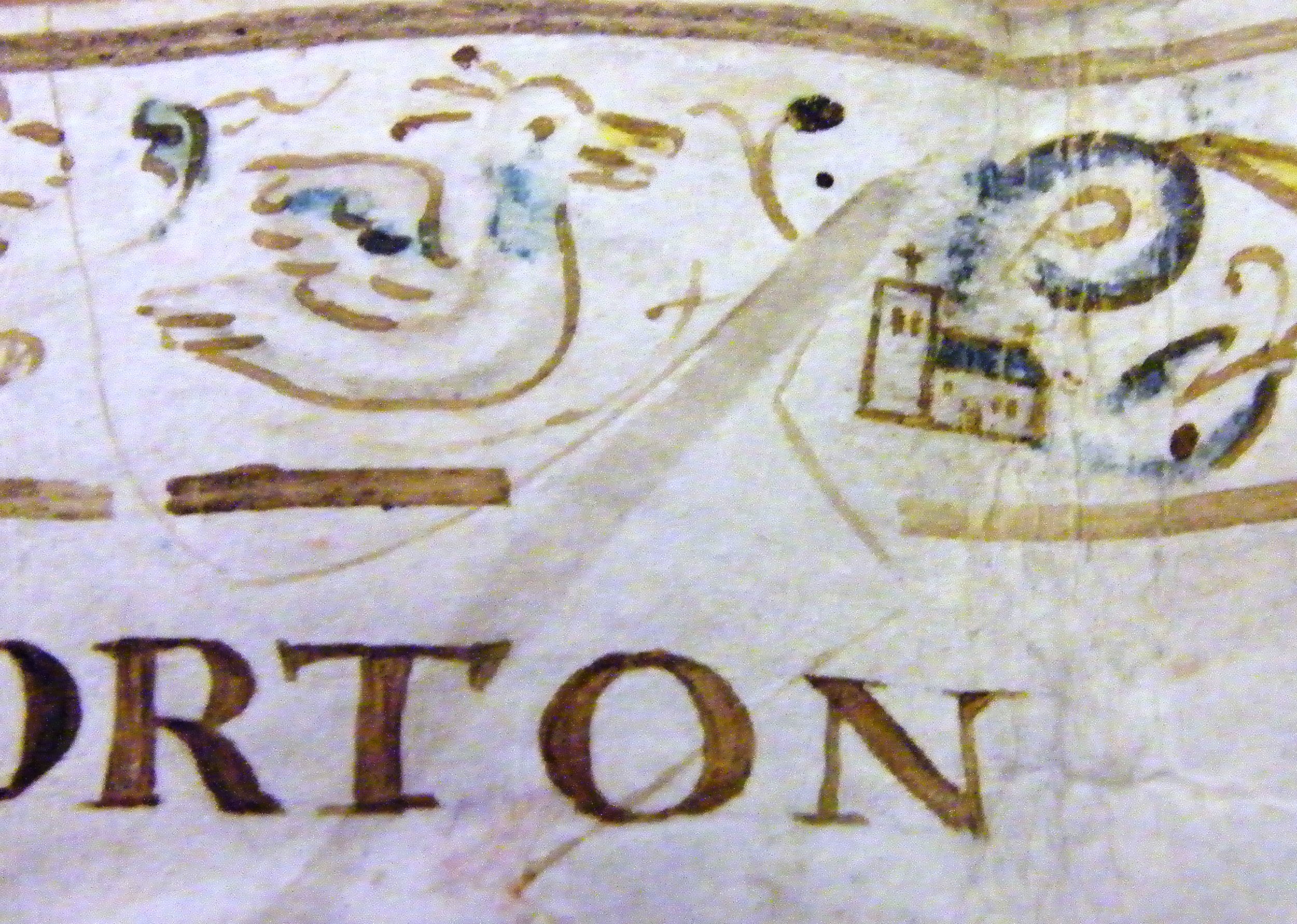
Junction of the Oxford Road (Straight Mile) behind the bird picture and Church Lane showing that there was a church or chapel in the village well before the present church.
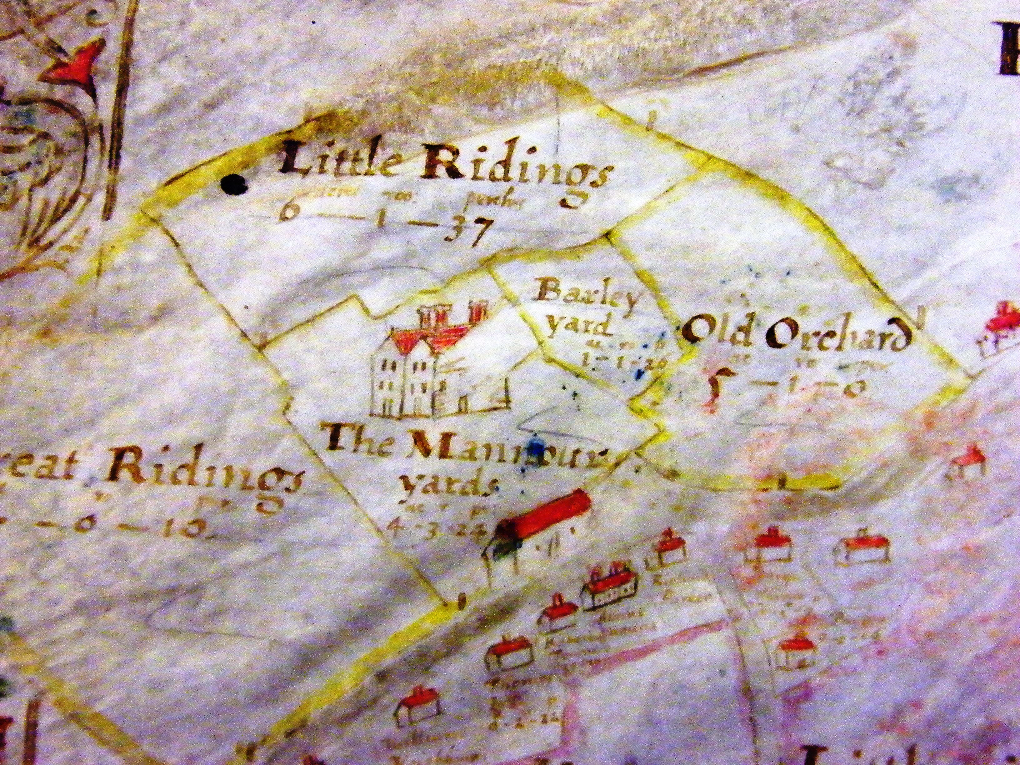
A close up of what is now Horton Hill (Thame Road) showing the Priory, stables (gone) and other houses most of which remain.
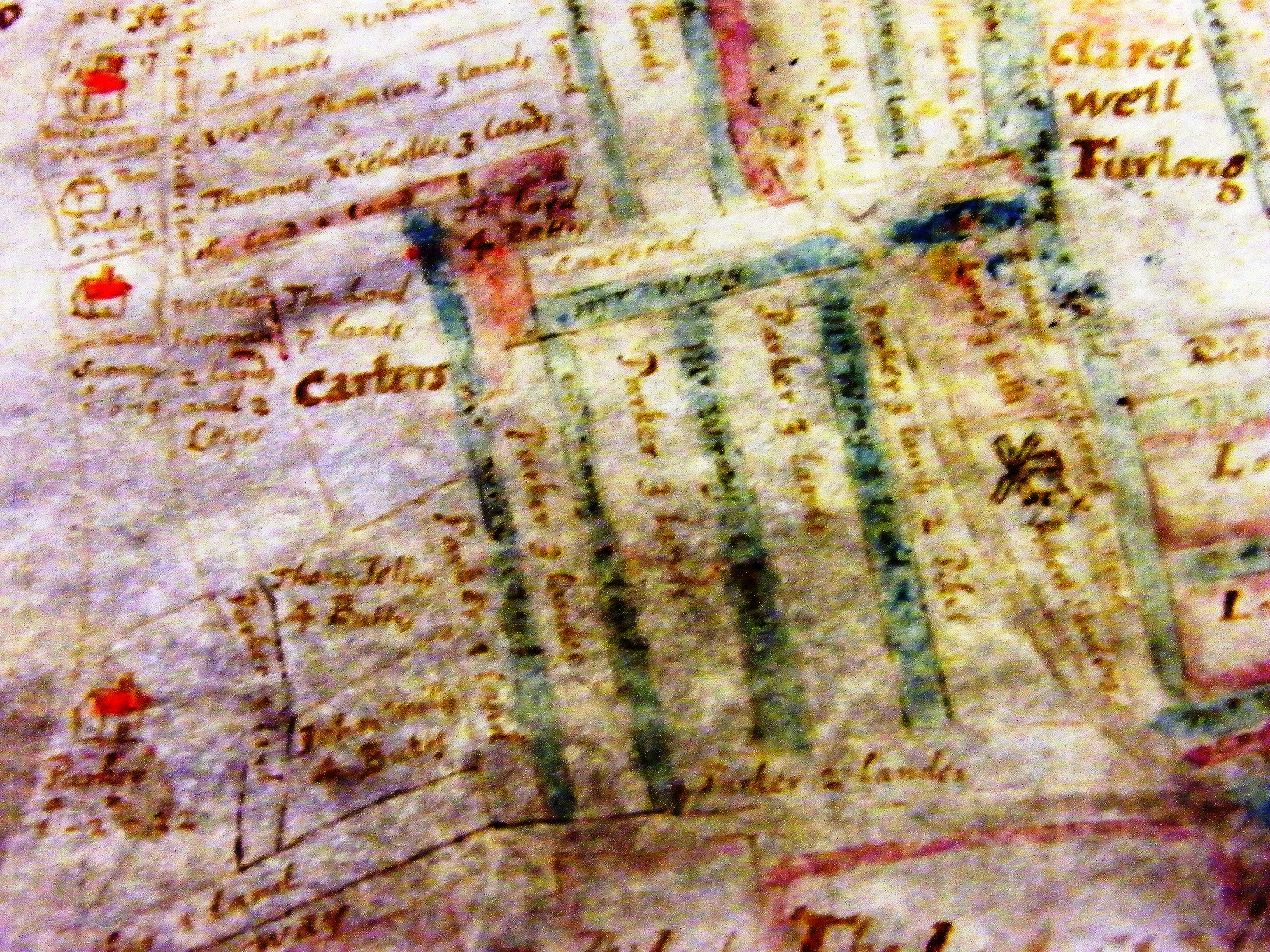
Another close up showing the strip farming off Mill Lane
Whitecross Green Woods similar to the present boundaries but note Bicester Road through the middle (now a footpath) going up to Gardener's Barn and the village.
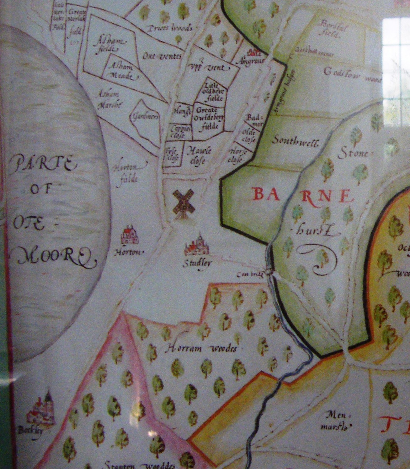
Part of 16th Century map c1590 of Bernwood Forest showing Horton and Studley with the windmill. This map is held in New College library. There is a copy at Boarstall Tower. Note that the main track through the village goes down what is now Mill Lane. Tyle Close is next to Gardener's Barn and to the west of Hawle Close where discoveries indicating the location of Asham Hall have been found.