![]()
Custom Search
Otmoor
Archealogical & Historical Society
The society goes from strength to strength under the chairmanship of
Chris Lowe. The Society meets monthly during the winter
months and monthly events during the summer. All are welcome to
the meetings but non-members will be charged £3.
More committee members are needed, we need a representative from each
Otmoor "town" and other villages. A programme of monthly
activities has been arranged.
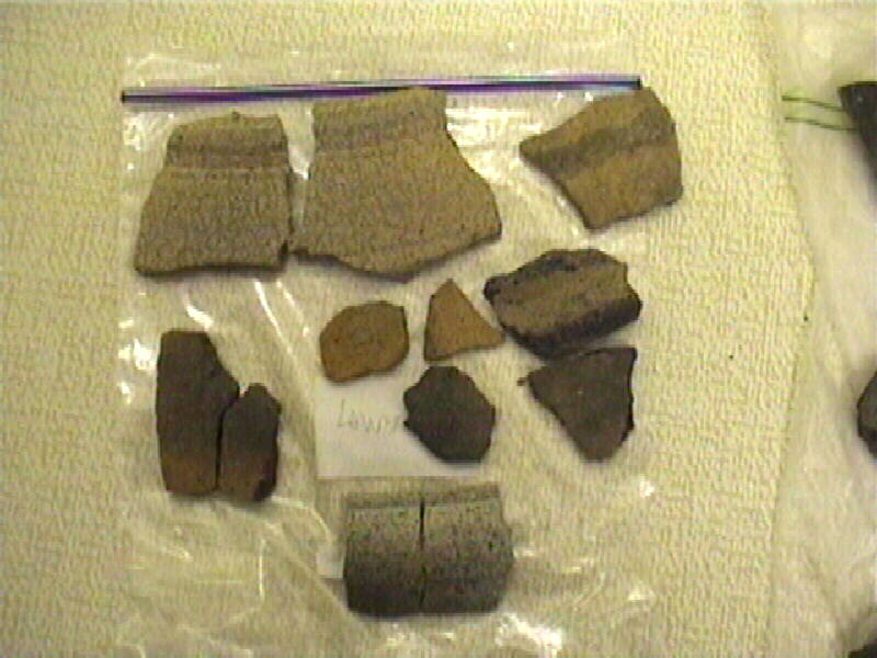
A piece of Medieval
tile was also found at Horton cum Studley by members,:
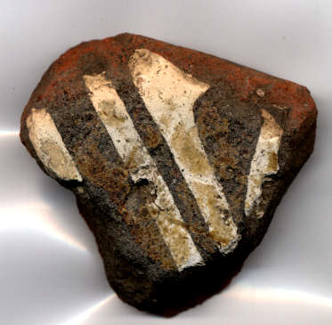
Further excavations are being planned.
WINTER PROGRAMME
2016/2017
WEDNESDAY, 7th SEPTEMBER
2016: 8.00 p.m. – ISLIP VILLAGE HALL
Mr. Christopher Lowe
“Islip Inns”
WEDNESDAY, 5th OCTOBER 2016: 8.00 p.m.
– ISLIP VILLAGE HALL
Liz Woolley
“Beer,
sausages and marmalade: Oxford food and drink in the 19th C.”
WEDNESDAY, 2nd NOVEMBER 2016: 8.00 p.m. –
ISLIP VILLAGE HALL
Dr. Stephanie Dalley (Oriental Institute/Wolfson College, Oxford)
“The Hanging Garden
of Babylon: The solution to an old problem”
WEDNESDAY, 7th DECEMBER 2016: 8.00 p.m. –
ISLIP VILLAGE HALL
Dr. Ben Ford (Oxford
Archaeology)
“The Westgate Project”
WEDNESDAY, 1st FEBRUARY
2017: 8.00 p.m. – ISLIP
VILLAGE HALL
Dr. A. Johnson
“Google Earth”
WEDNESDAY, 1st MARCH 2017: 8.00 p.m. – ISLIP VILLAGE HALL
Dr. Eleanor Standley (Inst.of Archaeology & Dept. of Antiquities, Ashmolean Museum,
Oxford)
“Dress and Everyday
life in the Medieval Period”
WEDNESDAY, 5th April 2017: 8.00 p.m. – ISLIP
VILLAGE HALL
Annual General Meeting
followed by a short film
The first outdoor event was a
conducted tour of Studley Priory 4 September 2000 Pictures.
4th May 2002 - Morning
Walk on Otmoor. Nigel Gilmour assisted by his sister Jane, an
entomologist and botanist lead a walk across the SSSI and MOD Range.
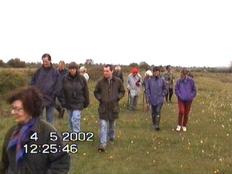

Walking
along the Roman
Road
Water Violet in Fowls Pill
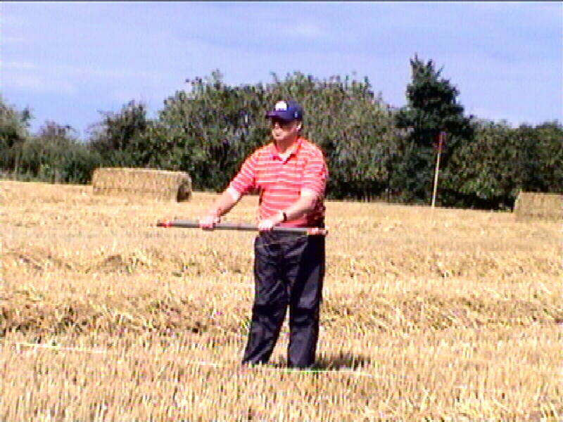
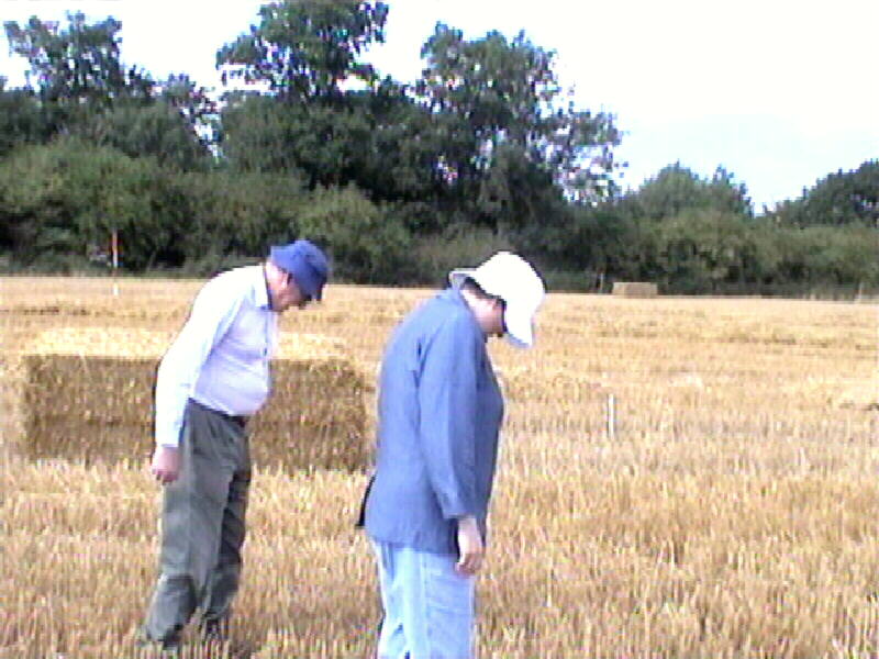
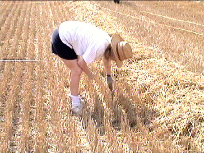
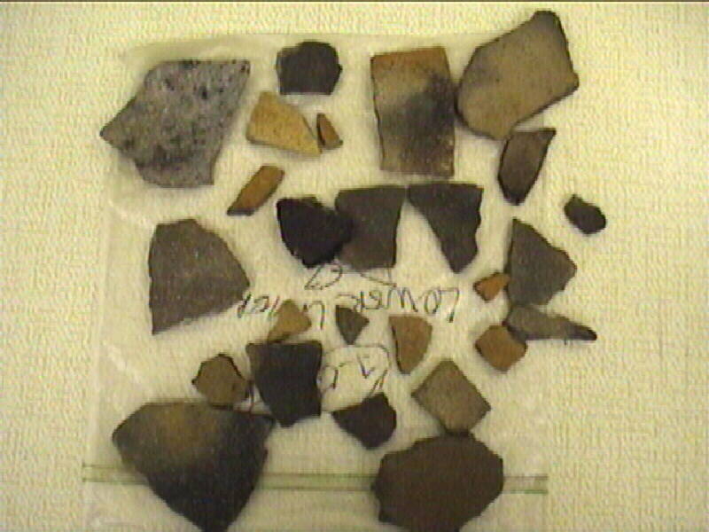
On 31st August 2003, a field walk and survey over the area
of the lost village of Asham took place to look for
the site of Asham Hall. The visit included a
magnetometer survey that showed a possible Roman ditch. In the field
search the pottery appears to be about 50% Roman and 50% medieval. The
pottery is being washed and identified and full results will be published on
this site. Much of the pottery was identified on site thanks to Dr Maureen
Mellor from the Ashmolian Museum.
|
Setting up the magnetometer grid |
The Chairman and Dr Maureen Mellor |
|
Surveying the grid |
Tony Johnson with his magnetometer |
|
Examining the pottery |
Hard work searching in the stubble |
|
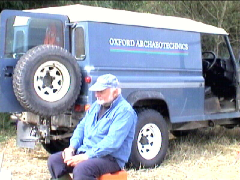
Tony Johnson relaxing after the survey |
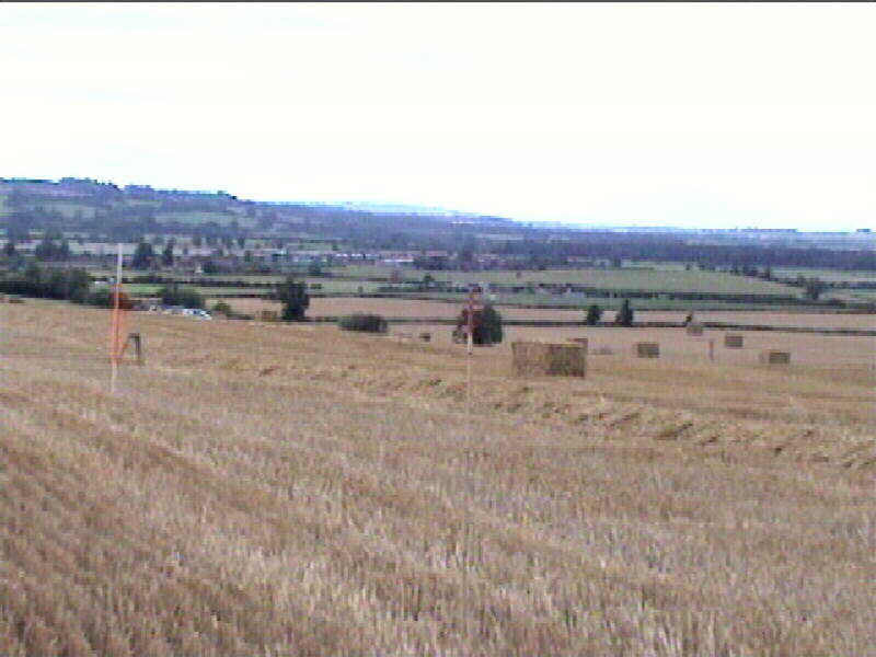
A view from the site |
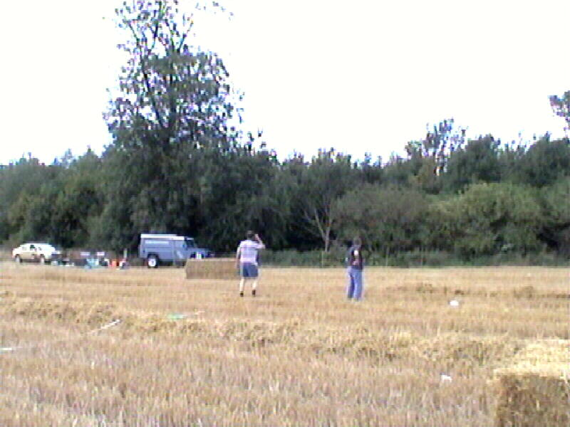
The survey
probably posed more questions than it answered. To definite site of a
hall were found although much Roman and Medieval pottery was found including
pottery from Brill. A ditch was detected across the site with a
possibility that it is Roman. The site was re-visited on Saturday 28th
September, after the area has been ploughed and to investigate the ditch
further.
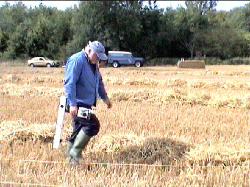
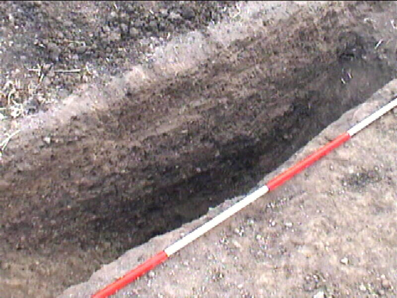
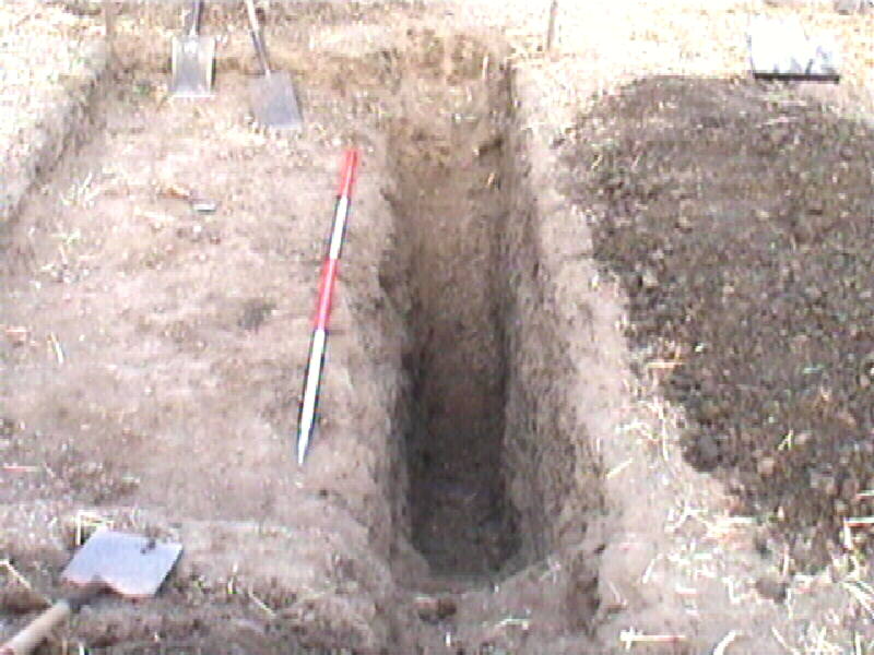
A small
trench was dug across the ditch, and a substantial collection of pottery was
recovered. The surface level was a mixture of medieval and Roman period,
but as we dug down, signs of the ditch being filled with iron smelting debris
was recovered including iron clinker, burned clay and pottery. The bottom
layers contained pottery that has been identified by Dr Paul Booth, of the
Oxford Archaeological Unit, as first century Roman..
There will
be a further dig over the weekend 27-28 August, subject to the crops having
been harvested. Meet on the site at 9am (please ring Pat Dunn 01865 372264 for
further details)
|
The ditch was about 1.5 M deep and 2 M wide |
|
Some of the middle layer finds with burned clay and potter. Archaeologist Edward Shayer digging. |
|
Middle layer finds all first century AD |

Our thanks to
Mr Steve Whidbourne, the landowner for permission to
survey the area.
The result of
the survey and dig brings into doubt that the site of Asham
Hall was in the area surveyed.
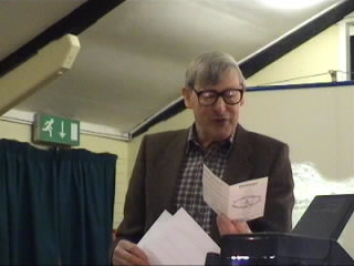
On Wednesday
2nd October 2002 Mr Paul Smith Oxfordshire
County Archaeologist, Reviewed Recent Archaeology in the Shire.

Paul Smith, Oxfordshire County Archaeologist.
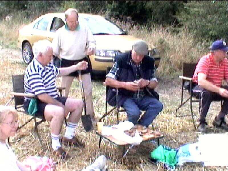
There is an annual membership of £7.50 plus £2 per event for
visitors. This is to cover mailing, tea and coffee at meetings, printing
and other expenses such as speakers expenses.
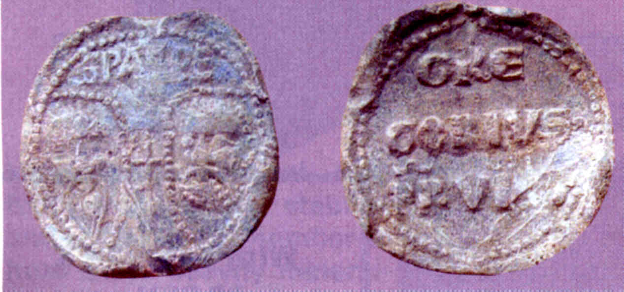
This item
made of bronze, was found in Waterleys field Horton
cum Studley in October 2002 by Mr Bob Wakelin. It is probably a copy of a
bulla, a lead seal that was affixed to an official document signed by the
pope. If it had been a lead seal , there would
probably been a second or back seal and connected together with a cord
that was fixed to the document. This item looks as though it had been adapted
as a brooch. - The Writing of Gre Gorius
PP VlIII for Pope Gregory VIII and will be dated
circa 1187. A large number of bullae have been found and it is likely
that many are not official issues, and this one made of bronze was likely to
have been a contemporary copy. Below lead bulla found near an old church
in Suffolk. This item was identified by Bob Wakelin when the picture below was
published in his copy of "The Searcher "
January 2003.
Any ideas or suggestions for events are welcome. E-Mail timothy.hallchurch@oxfordshire.gov.uk
Committee
Chairman Christopher Lowe 01865 379072
Technical Director Tony Johnson 01865 375536
Treasurer Russell Dunn 01865 372264
Member Tim Hallchurch 01865 377099
Member Bruce Tremayne 01865 331289
Secretary Pat Dunn 01865 372264
Ratcliffe Infirmary Site archaeology: http://www.museumoflondonarchaeology.org.uk/News/Archive/News09/oxfordradcliffe.htm
Oxfordshire Family History
Society - Holford Centre
Holford Centre is located just off the B4027 Wheatley
to Islip road.
www.ofhs.org.uk/holford.html
Oxfordshire -
The Civil War and Islip
www.sci.net.au/userpages/mgrogan/oxford.htm
Map
of the old Parish of Beckley
The 1919 sale of the Earl of Abingdon's Estate
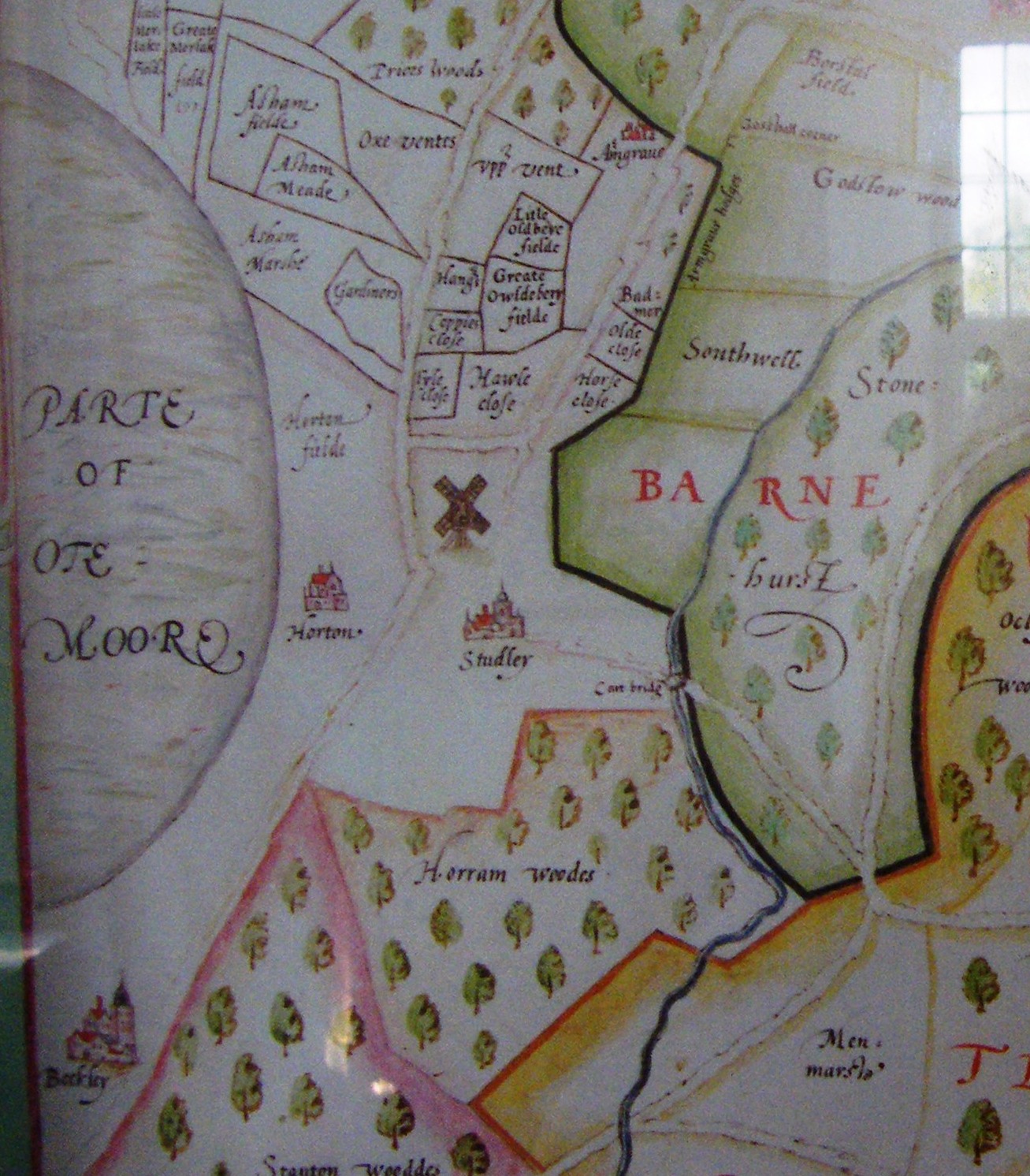
1641 Map of Horton cum Studley
Doomsday Book references to Otmoor
Draft history of Horton cum Studley
with more pictures
1665 Hearth Tax Returns for Otmoor
Transcripts
of Parish Registers:
Oxfordshire Maps